- UID
- 4885
- 注册时间
- 2014-4-11
- 在线时间
- 小时
- 最后登录
- 1970-1-1
- 精华
- 阅读权限
- 50
- 听众
- 收听
|
Google Earth目前是最好的卫星地图之一,主要并不仅是支持的客户端多、功能完备,更重要的是经常更新地图,这对于卫星地图的研究者来说,很有价值。但是考虑GE目前已经被block,寻找替代品就成了日常工作。之前发过两篇文章《[转+评]Top Alternatives to Google Earth》、《卫星地图:GoogleEarth的替代者是谁?》给出了一些可用的替代品,但是没有料到其中有些慢慢变得不好用了,于是又找了一些新的,列在下面。在搜索的时候,发现很多人都在寻找GE的替代品,但是由于大家的诉求不一样,有些网友仅仅是用来展示地图或者开发客户端,而另外一些网友和我一样是为了看卫星地图。下面会标注这些差异。
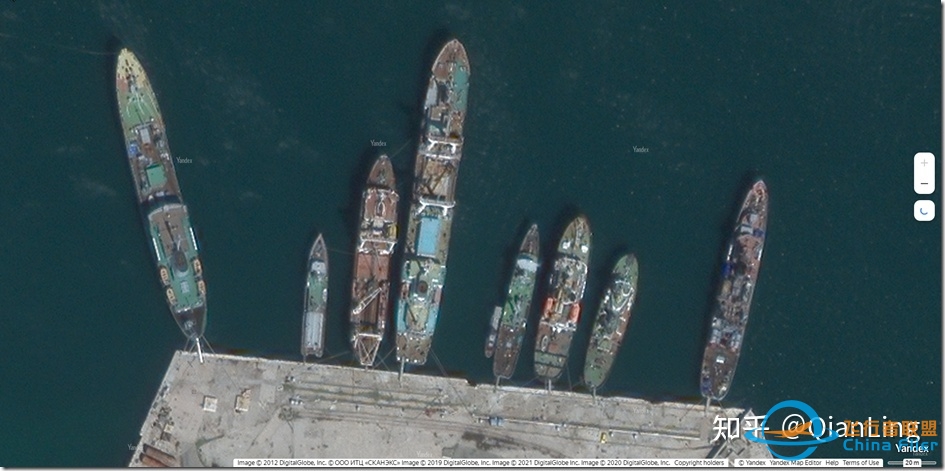
1、第一名:Yandex卫星地图
https://yandex.com/maps/?l=sat&ll=32.724422%2C45.540681&z=7
这是俄罗斯搜索引擎Yandex开发的在线卫星地图,可以有全球的卫星地图,但控制了精度:在欧洲精度还可以,在亚洲就低一些,
2、第二名:NASA WorldWind Explorer
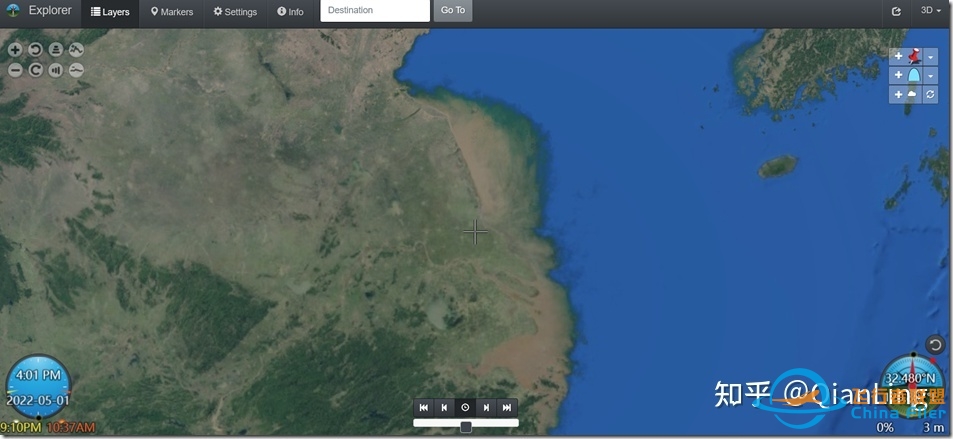
主站在这里:https://worldwind.arc.nasa.gov/ DemoExplorer在这里: https://worldwind.earth/explorer/ 地图的精度比较一般,主要是因为没有配置好用的地图server,可以配置URL来提升。这个系统是开源的,对开发者比较友好。WorldWind is an open source virtual globe API. WorldWind allows developers to quickly and easily create interactive visualizations of 3D globe, map and geographical information. Organizations around the world use WorldWind to monitor weather patterns, visualize cities and terrain, track vehicle movement, analyze geospatial data and educate humanity about the Earth.
3、第三名:Esri ArcGIS
https://apps.microsoft.com/store/detail/arcgis-earth/9NCLGCQT5PG2?hl=en-us&gl=US
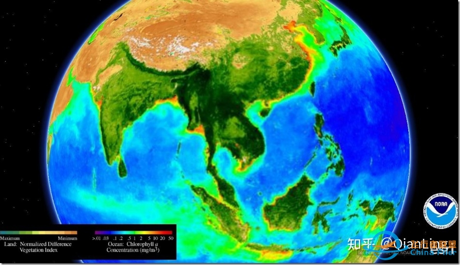
应该是很类似Google Earth的一个软件,可以从MS Store下载,但是不知道为什么没有办法下载,有使用成功的可以介绍一下经验。Esri ArcGIS connects maps, apps, data, and people so you can make smarter, faster decisions. It gives everyone in your organization the ability to discover, use, make, and share maps from any device, anywhere, anytime. ArcGIS Earth is an interactive 3D experience to plan, visualize, and evaluate events on the globe. ArcGIS Earth provides situational awareness on desktop and mobile devices for improved decision-making. Ingest data in different formats, including 3D models; Keyhole Markup Language (KML), Keyhole Markup language Zipped (KMZ) files; TXT; and open services from ArcGIS or with a URL, to explore areas of interest in 3D. Manipulate KML in its entirety to understand changing circumstances. ArcGIS Earth is a free and easy-to-use tool to quickly fuse, manipulate, and collaborate with 3D data.
4、第4名:QGIS
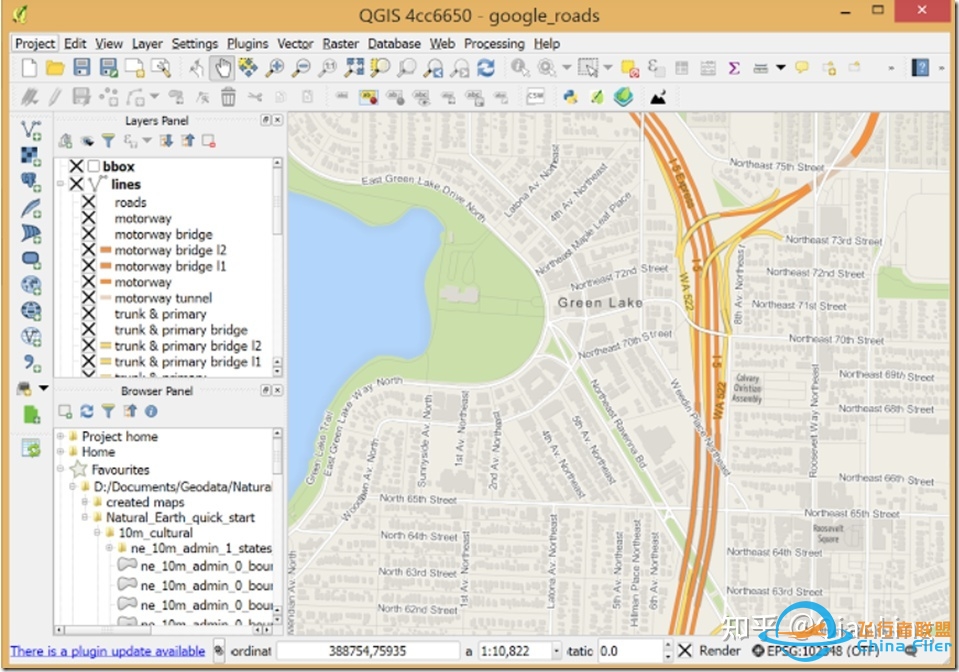
https://www.qgis.org/en/site/forusers/download.html# 可以从这个链接下载安装包,但是比较大,1GB左右,有需要的试一试。QGIS is a open source GIS tool that provides capabilities and tools to help you visualize, manage, edit, analyze data and compose printable maps. QGIS is a user friendly Open Source Geographic Information System (GIS) licensed under the GNU General Public License. QGIS is an official project of the Open Source Geospatial Foundation (OSGeo). It runs on Linux, Unix, Mac OSX, Windows and Android and supports numerous vector, raster, and database formats and functionalities.
5、第五名:Maptitude
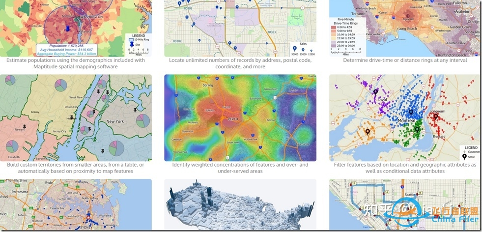
https://www.caliper.com/maptovu.htm 这是个企业数据集成系统。Maptitude Geographic Information System (GIS) software gives you the tools, maps, and demographic data you need to analyze and understand how geography affects you and your business. Maptitude Geographic Information System (GIS) software gives you the tools, maps, and demographic data you need to analyze and understand how geography affects you and your business. Every day you have to contend with spreadsheets and databases filled with vast amounts of customer, employee, sales, facility, and territory data. With Maptitude mapping software you can visualize data in new and different ways, unearth geographic patterns hidden in your data, and convey that information in a straightforward manner. Maptitude provides everything you need to realize the benefits of desktop mapping and spatial analysis with a single, easy-to-use package.
6、第六名:AutoCAD® Map 3D
AutoCAD® Map 3D software provides access to GIS and mapping data to support planning, design, and data management. Autodesk的AutoCAD Map 3D 如果熟悉使用Autodesk,则AutoCAD Map 3D具有相同的外观。 通过链接CAD和GIS,弥合了工程设计和地理之间的鸿沟。 例如,将获得地图布局,数据管理和分析功能,就像任何GIS软件一样。这个应该是企业GIS系统。
7、第七名:Global Mapper
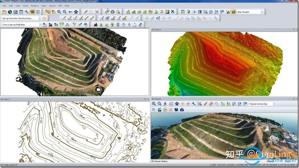
Global Mapper is an affordable and easy-to-use GIS application that offers access to an unparalleled variety of spatial datasets and provides just the right level of functionality to satisfy both experienced GIS professionals and beginning users. Global Mapper是一款经济实惠且易于使用的GIS应用程序,可以访问各种空间数据集,并提供恰当的功能,以满足经验丰富的GIS人员和初级用户的需求。Global Mapper的空间数据处理工具非常丰富和全面,在多源格式方面具有优势,性价比很高。不论您是GIS人员,还是地图狂热者;不论你是想配备一款单独的GIS数据管理工具,或者是作为现有的GIS软件装备的补充,Global Mapper都是您不错的选择。可以集成各种卫星地图数据。https://zhuanlan.zhihu.com/p/177616317
8、第8名:2GIS
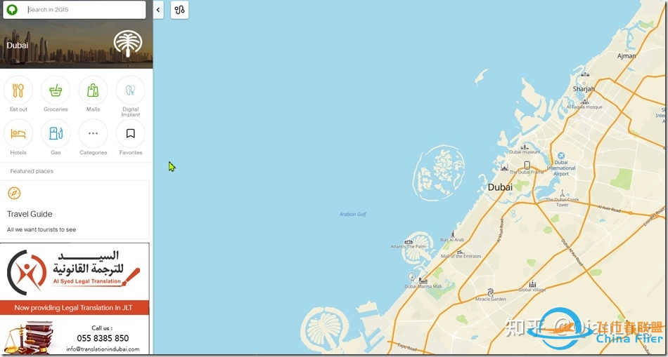
https://2gis.ae/ 是一个和交通相关的地图软件,看上去不能展示卫星地图。
2GIS provides 3D-maps of 180+ cities, contacts of 1.5 million companies, car routing and public transport routes and and more! 2GIS is a complete and up-to-date directory of organizations with detailed cities’ maps.
9、第九名:MapInfo Professional
https://www.g2.com/products/mapinfo-pro/reviews 企业地图软件
MapInfo Professional is a powerful mapping and geographic analysis application designed to show the relationship between data and geography in a visual way.
10、第10名:ArcGIS Online
https://www.esri.com/en-us/arcgis/about-arcgis/overview
ArcGIS Online is a complete, cloud-based mapping platform. Make and share beautiful maps, and do everything in between.
11、第11名:BatchGeo
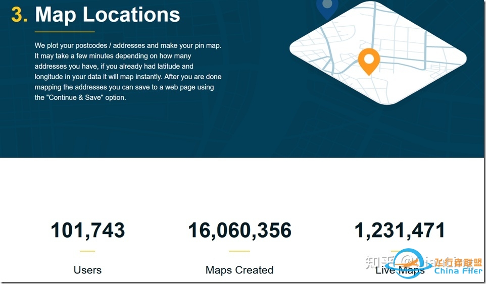
BatchGeo is a free service that lets you create maps. 也是一个地图软件
12、第12名:GE Small World
https://www.g2.com/products/ge-smallworld/reviews
GE’s comprehensive suite of integrated tools enable customers to lower the cost of ownership, simplify critical network infrastructures and deliver the flexibility required to meet dynamic network requirements.
这个链接(https://alternativeto.net/software/google-earth/)还有一些类似街景的软件,可以打开看看
张贴在GIS、个人兴趣、信息化应用(SAAS)、军事政治标签:Arcgis、Google、NASA、Yandex、卫星地图、地图 |
|